About SIGEONAS
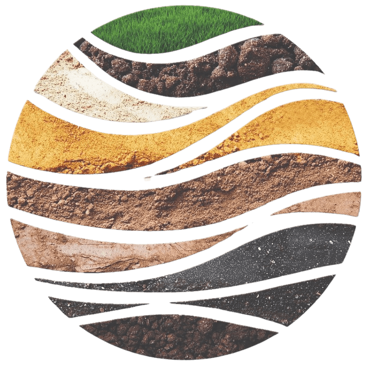
SIGEONAS (Sistem Informasi Geoteknik Nasional) is a geotechnical information platform designed to collect, manage, integrate, and visualize soil investigation data in a single spatial-based system.
This platform integrates Bore Log and Cone Penetration Test (CPT) data so subsurface information can be accessed effectively as a reference during preliminary studies, planning, and infrastructure development.
SIGEONAS supports structured, digitalized, and traceable geotechnical data management, ensuring investigation data serves as a reusable geotechnical asset rather than staying idle in project archives.
Main Features
Interactive Map
Visualize Bore Log and CPT locations across Indonesia for easy identification and tracking.
Smart Search
Search data by administrative area, location name, or coordinates for efficient data discovery.
Data Visualization
Present Bore Log and CPT data digitally to assist subsurface condition interpretations.
Centralized Database
Manage investigation data in a centralized repository that streamlines historical storage and reuse.
Available Investigation Data
Bore Log
Soil drilling data containing layer conditions against depth as a baseline for subsurface evaluation.
Available Data

Cone Penetration Test (CPT)
Cone penetration testing data depicting soil characteristics based on depth parameters.
Available Parameters
Soil Laboratory Test
Data from soil laboratory testing presenting physical and mechanical soil properties as the basis for material evaluation and geotechnical planning.
Available Parameters
SIGEONAS Users
Engineer
Supports geotechnical planning and initial infrastructure project studies.
Consultant
Accelerates initial analysis and technical recommendation preparation.
Contractor
Soil condition reference prior to construction execution.
Developer
Initial location evaluation for land development plans.
Government Agency
Supports geotechnical baseline data preparation and regional planning.
Academics & Researchers
Data resource for scientific research, education, and development.

One Indonesian Geotechnical Data
Integrating soil investigation data into a single information system to support effective, efficient, and data-driven infrastructure planning, execution, and management.